Densifying Diversity
Introduction
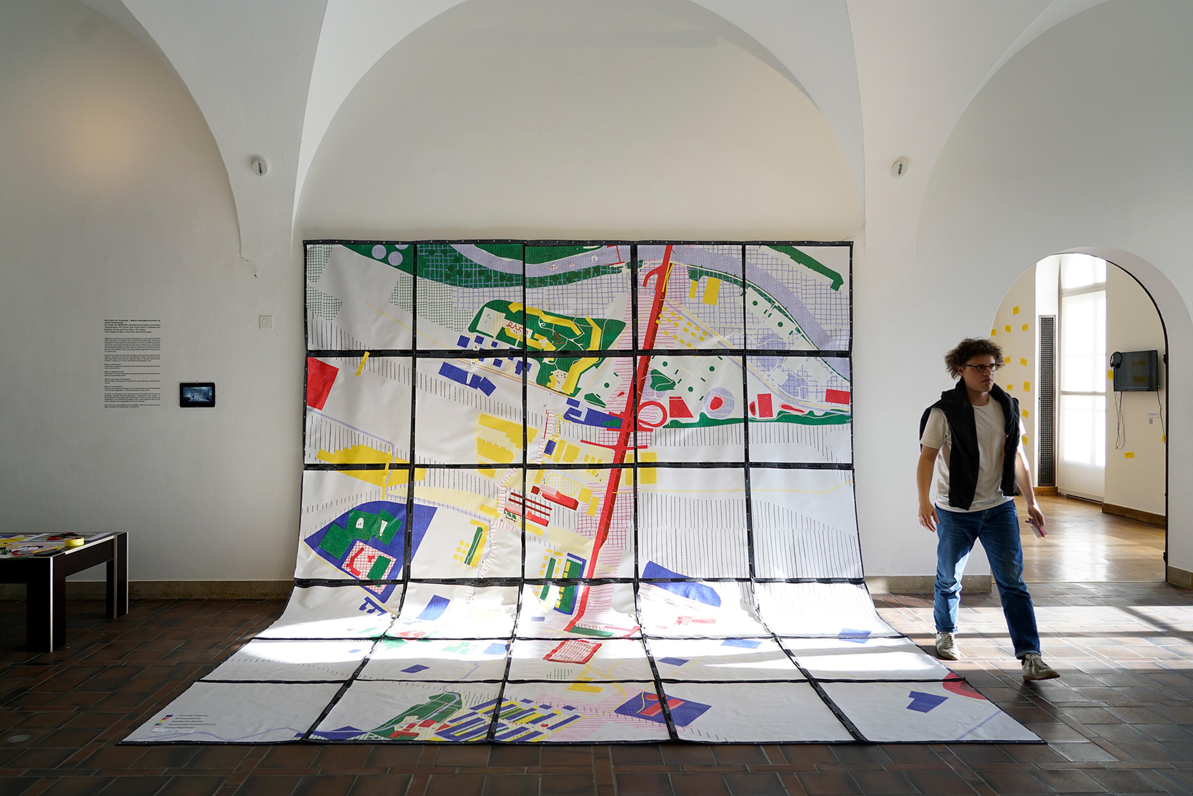
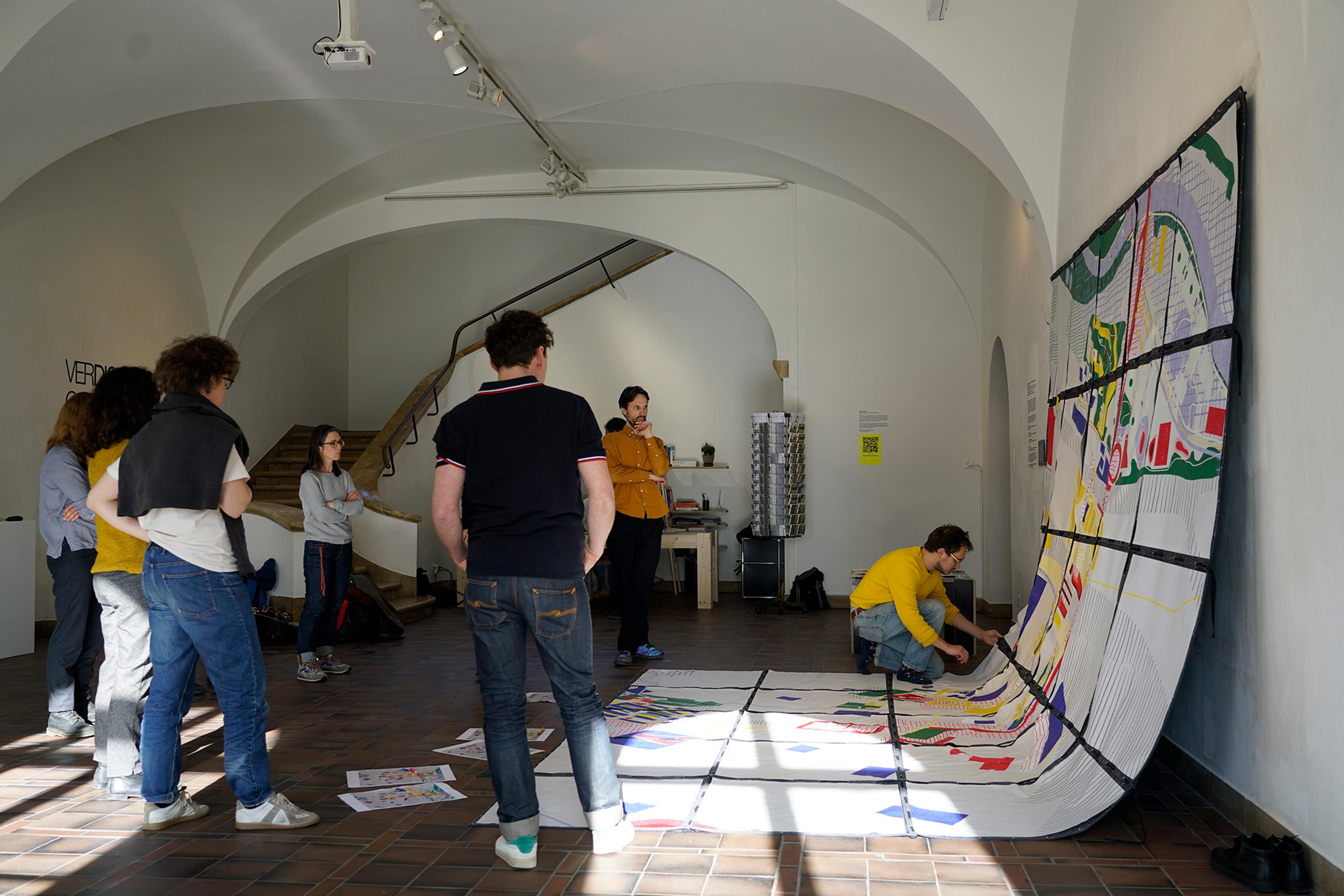
In 2023 NEWROPE contributed to the exhibition “Verdichtung oder Verdrängung?” at ZAZ Bellerive (Zentrum Architektur Zürich) with its Map of Potentials, inviting participants to engage in a collaborative reflection and speculation on urban growth and densification in Zurich.
The project grew out of the teaching engagement “Studio Altstetten – A Room of Entanglements”, where students co-created a first iteration if a collaborative map, highlighting and combining existing qualities, potentials and future visions. In this studio we researched possible alternative frameworks for future urban development. As such, the exhibited map – both as an artifact and a project – has been part of a learning process where research, pedagogy and practice intertwined during a stepwise series of performative experiments.
The larger exhibition was centered around the current urban development of Zurich. During the last decades the city has undergone a massive wave of densification, which often goes along with the destruction and replacement of existing buildings. Beyond the loss of the embodied grey energy, this transformation has an immense effect on the existing social and ecological fabric of the city: People get displaced, memory is erased, invisible infrastructures are often not integrated.
Yet this transformation is not uncontrolled, but it is guided by different kinds of frameworks and incentives. One of these overarching frameworks on city scale is the Kommunaler Richtplan, which came into effect in August 2022 after a public vote. The Richtplan is, amongst others, defining different zones with a high potential for inner city densification. Altstetten is one of these zones, which means that the area has to expect a massive transformation in the near future. The Richtplan is defining these zones based on the existing built fabric, uses, etc. As an overarching framework it states an ambition, but it does not take into account the existing structures and qualities. It focuses on the zone itself, on the area to be densified, but it leaves blank the space in-between, like some of the key infrastructures of the district.
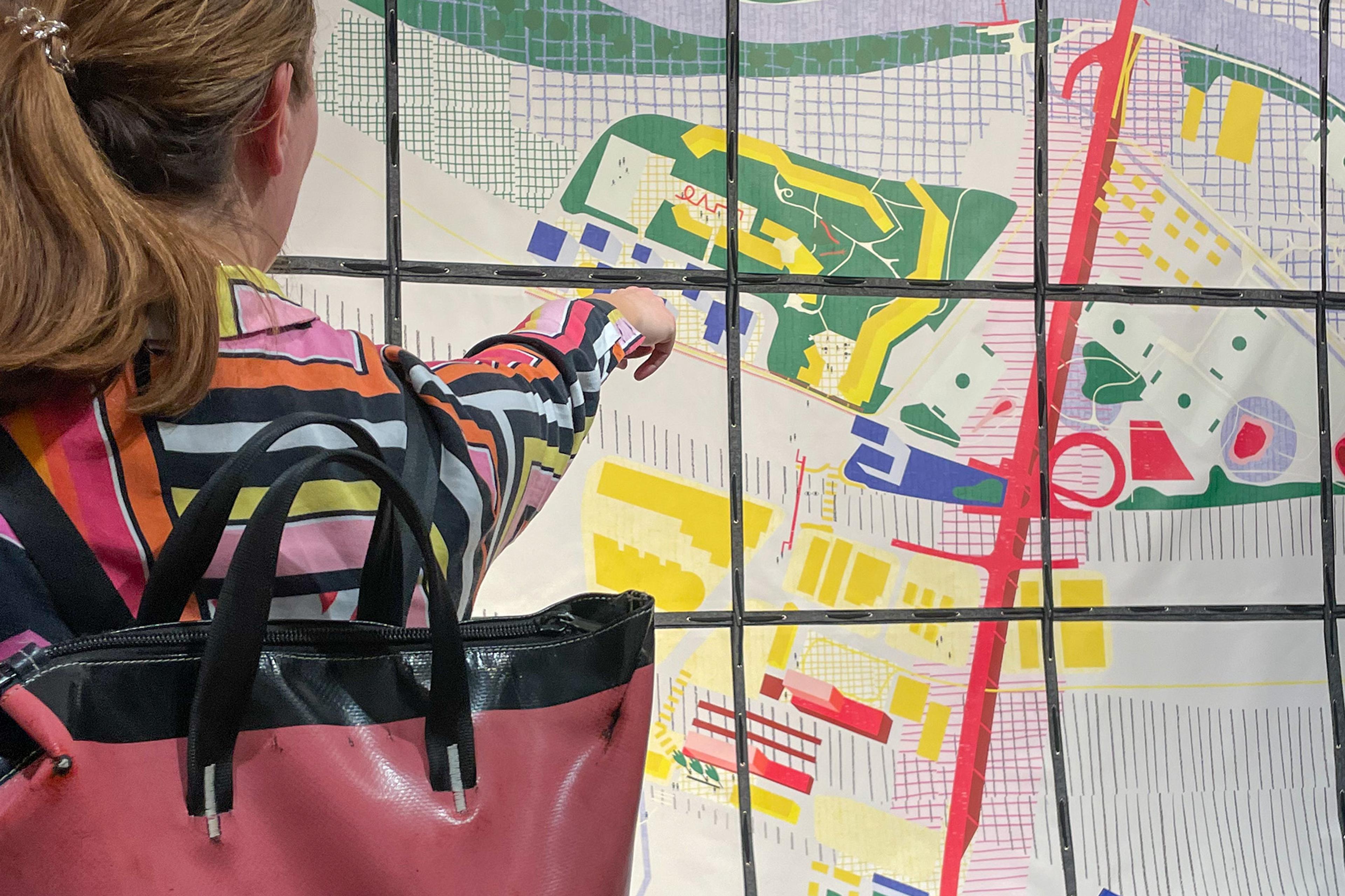
The Map of Potentials starts exactly from these space in-between and the district’s key infrastructures. The map identifies existing qualities in three different base layers which, in its juxtaposition, offer a new reading of the city and open up potential zones for intervention which are highlighted in a fourth layer.
Map of Potentials
The Map of Potentials tries to create an inviting and rich environment to discuss, and stimulate new readings of the existing. Following James Corner (“The Agency of Mapping: Speculation, Critique and Invention”), we believe the act of mapping is an enabling reformulation of the reality. While mapping often claims objectivity, our attempt does not aim to be neutral; rather it tries to reveal, liberate, and unfold potentials. In this perspective, the act of mapping plays a fundamental role in creating readings of the city that shift our focus from objects to relations. As an active agent of transformation, mapping goes beyond the mere description of physical elements and tries to uncover what is not visible.
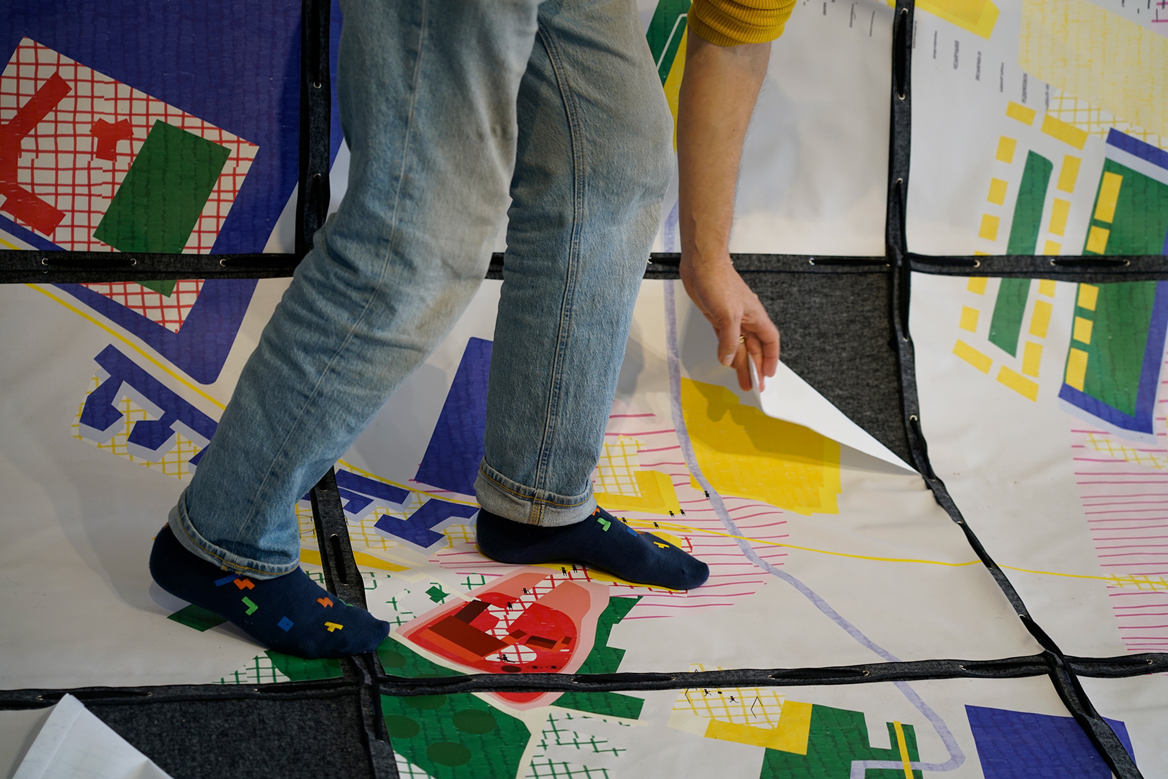
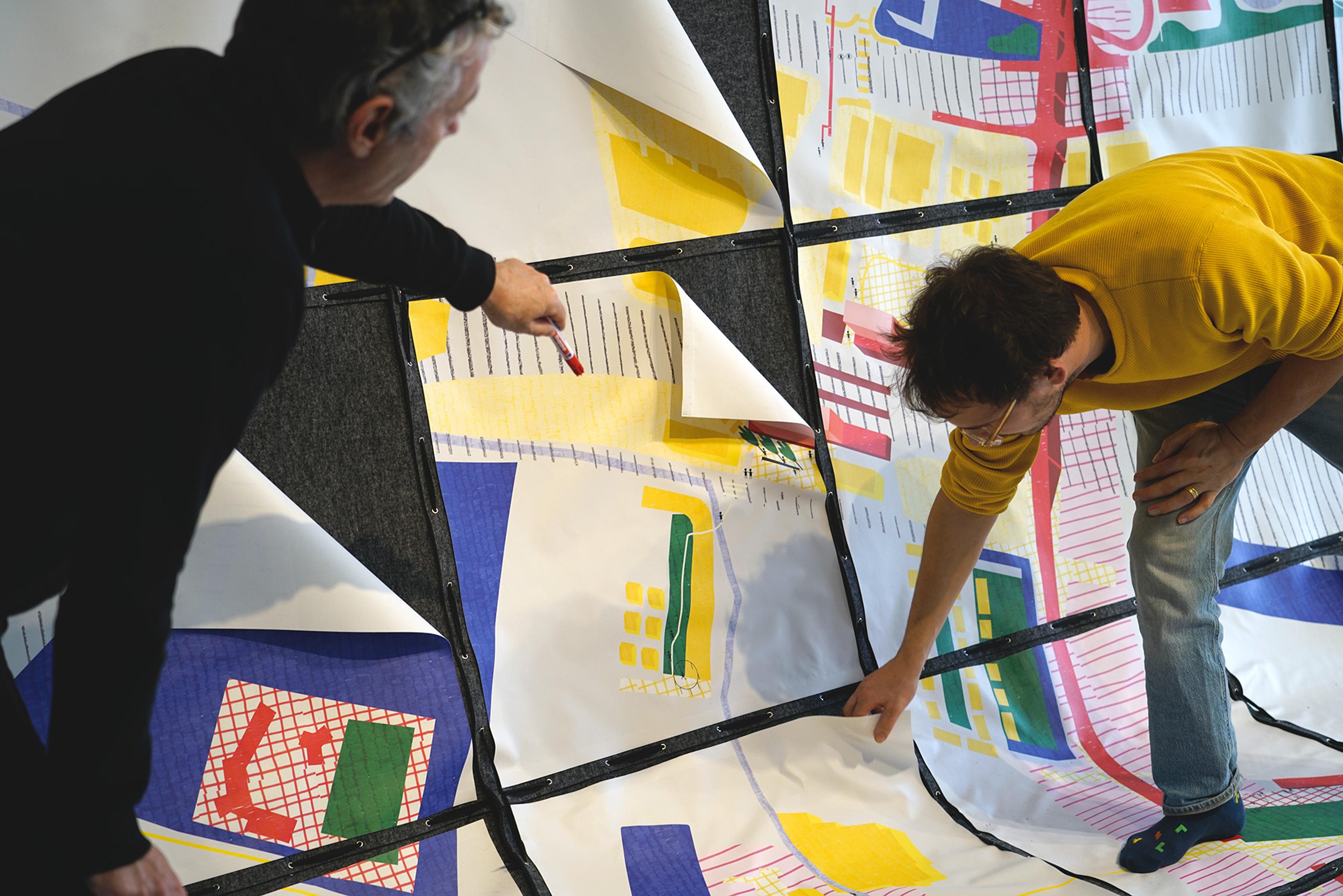
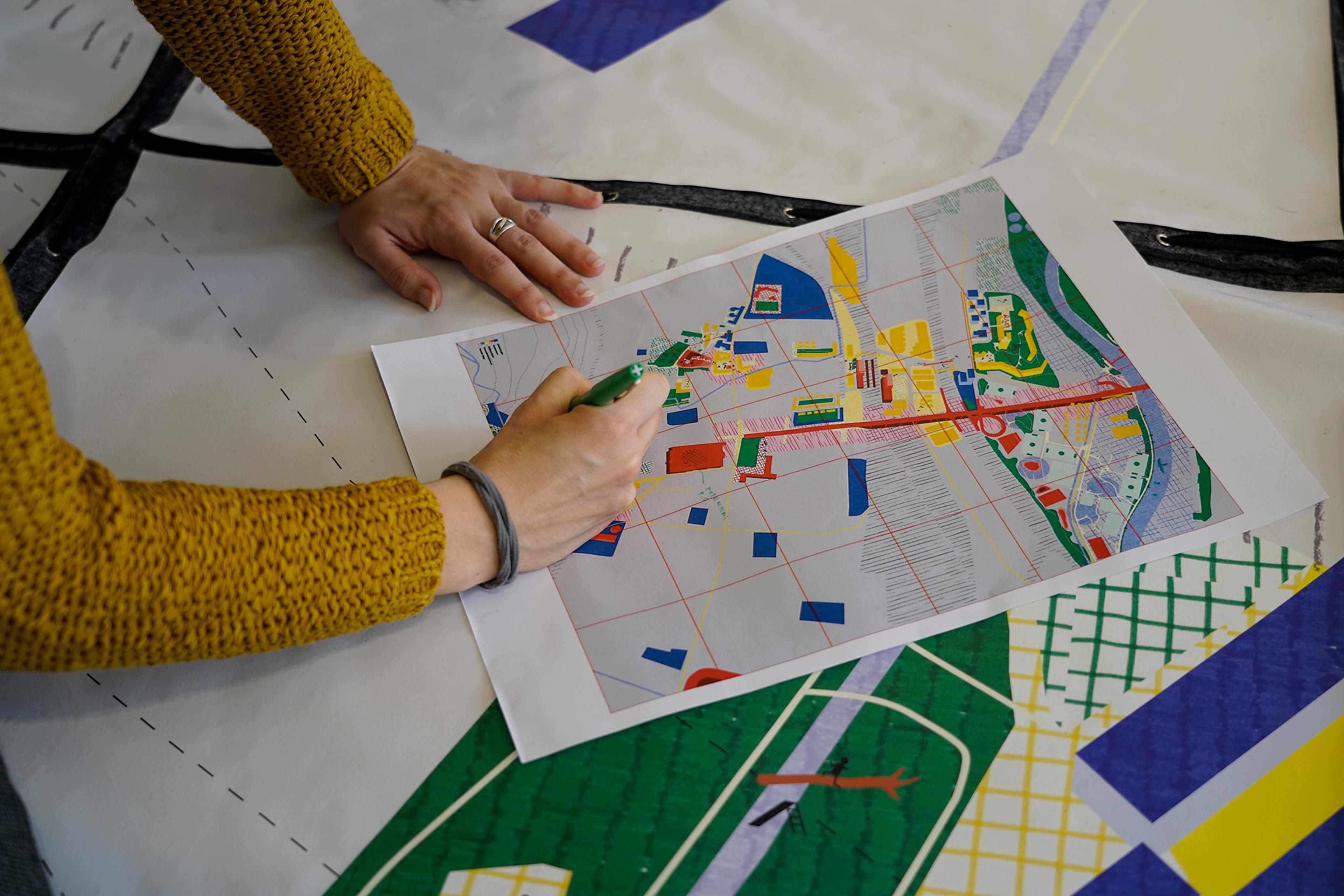
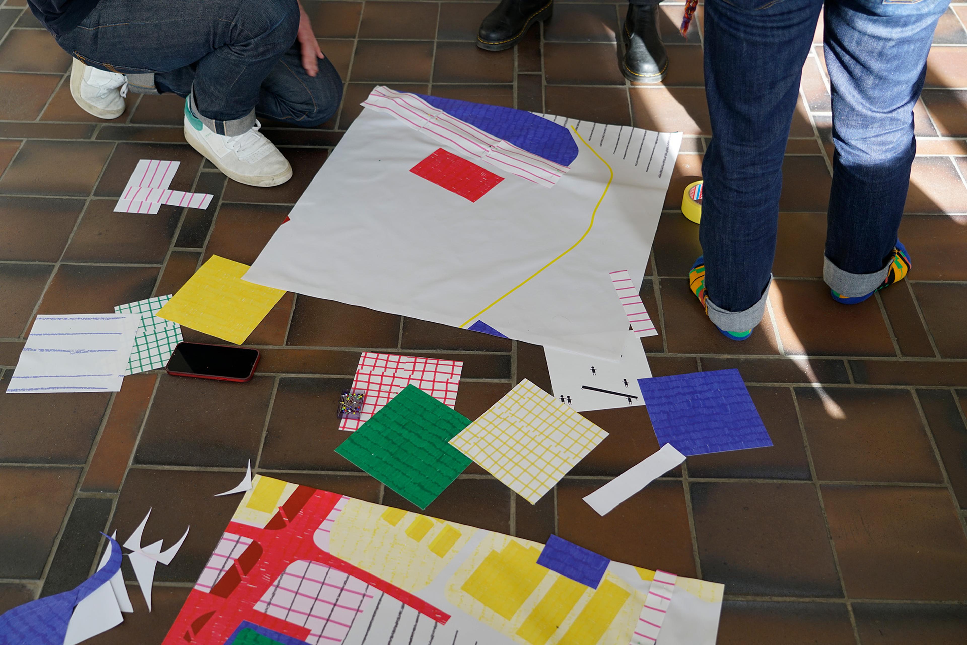
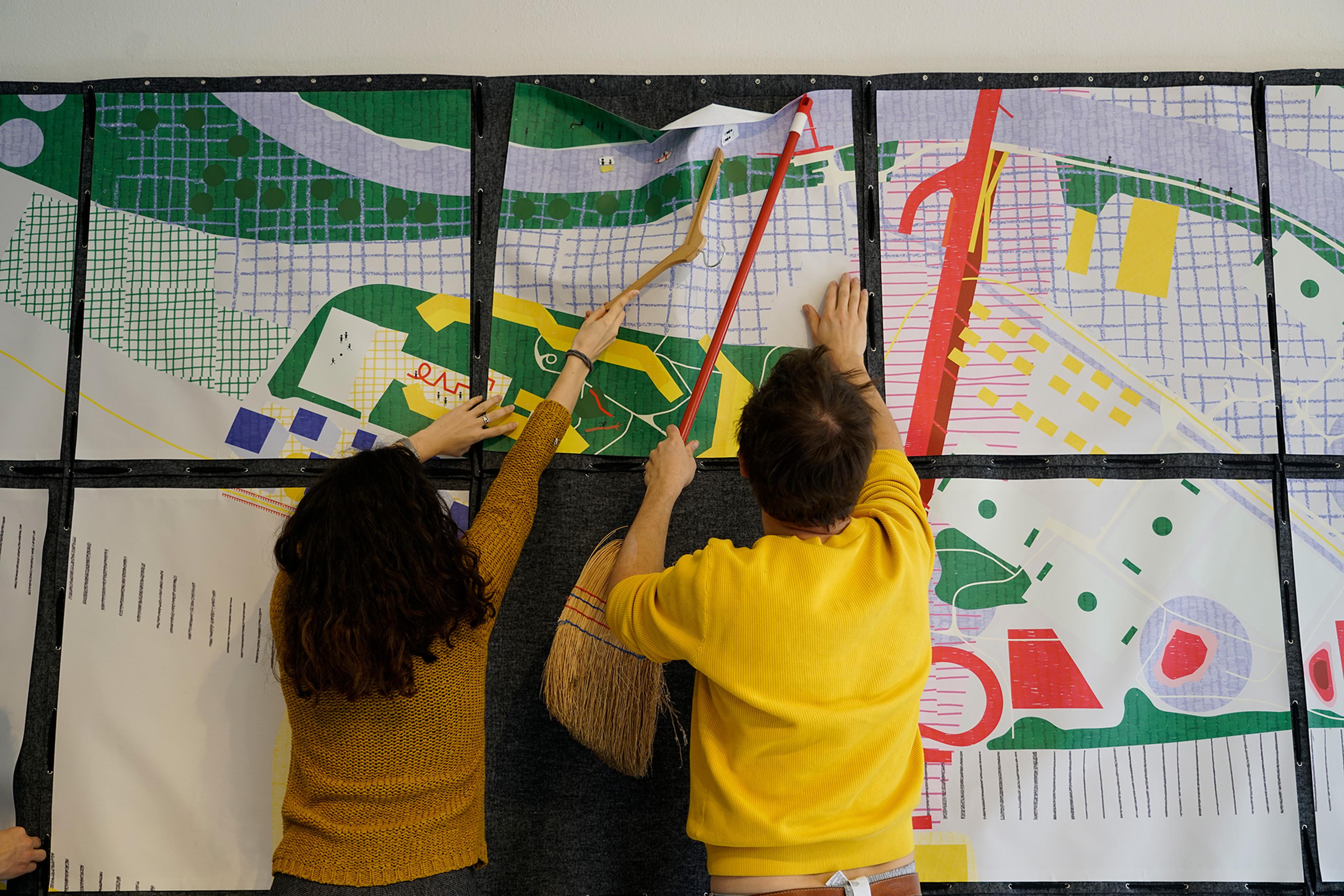
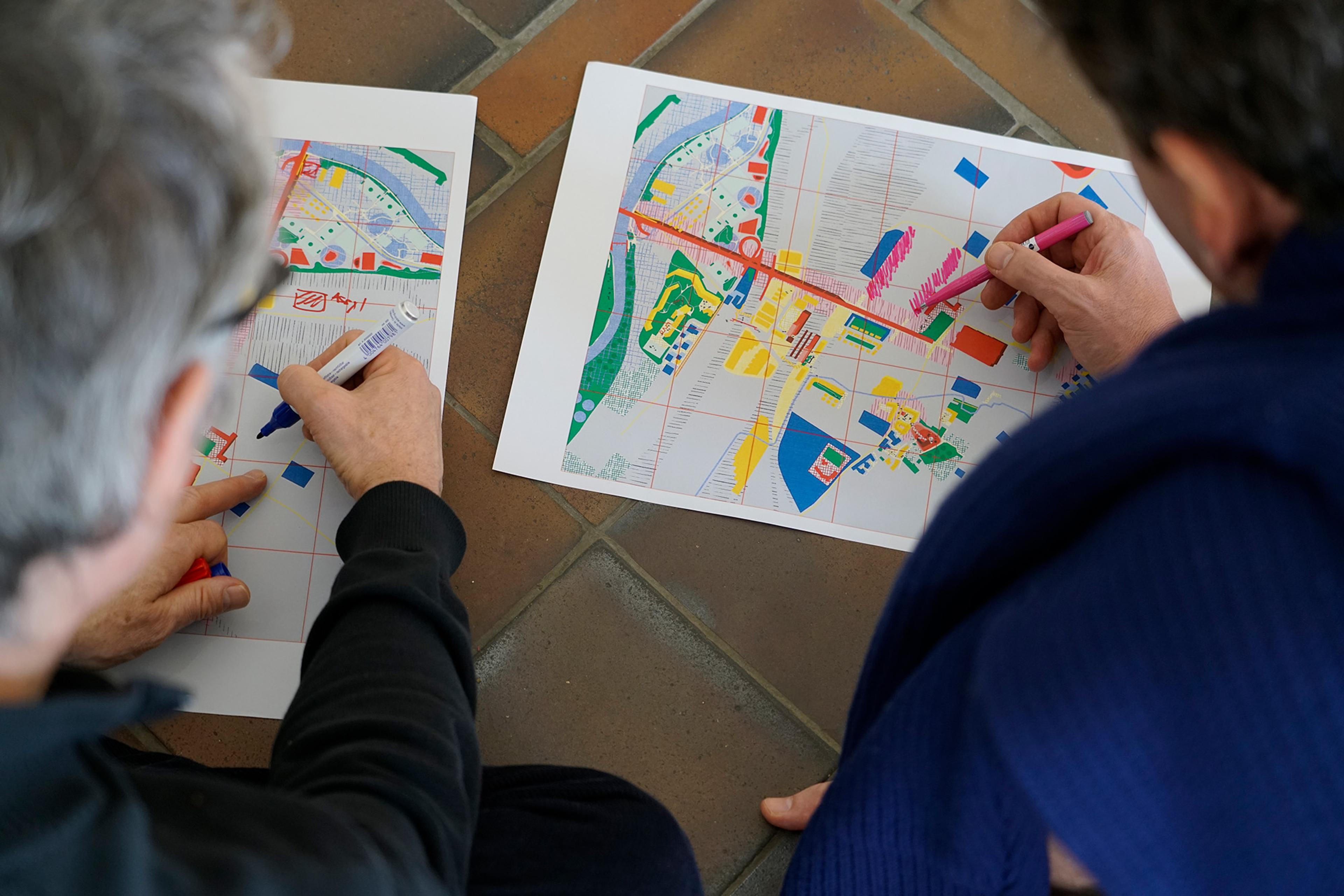
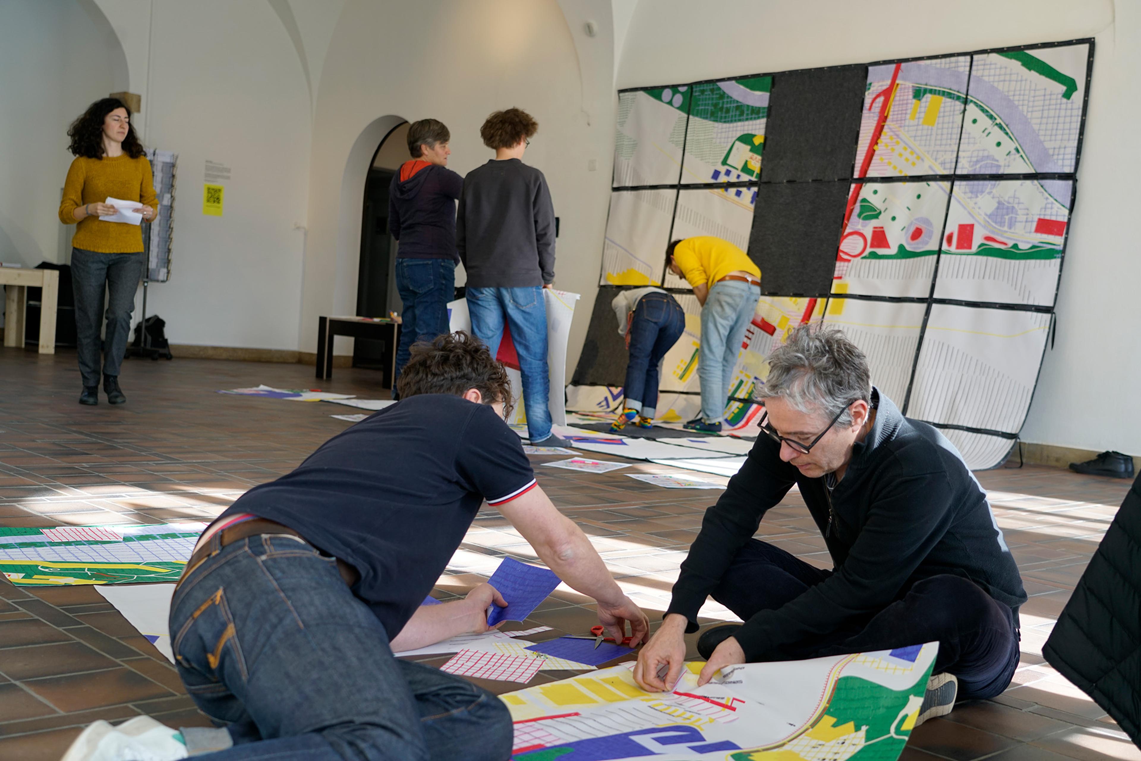
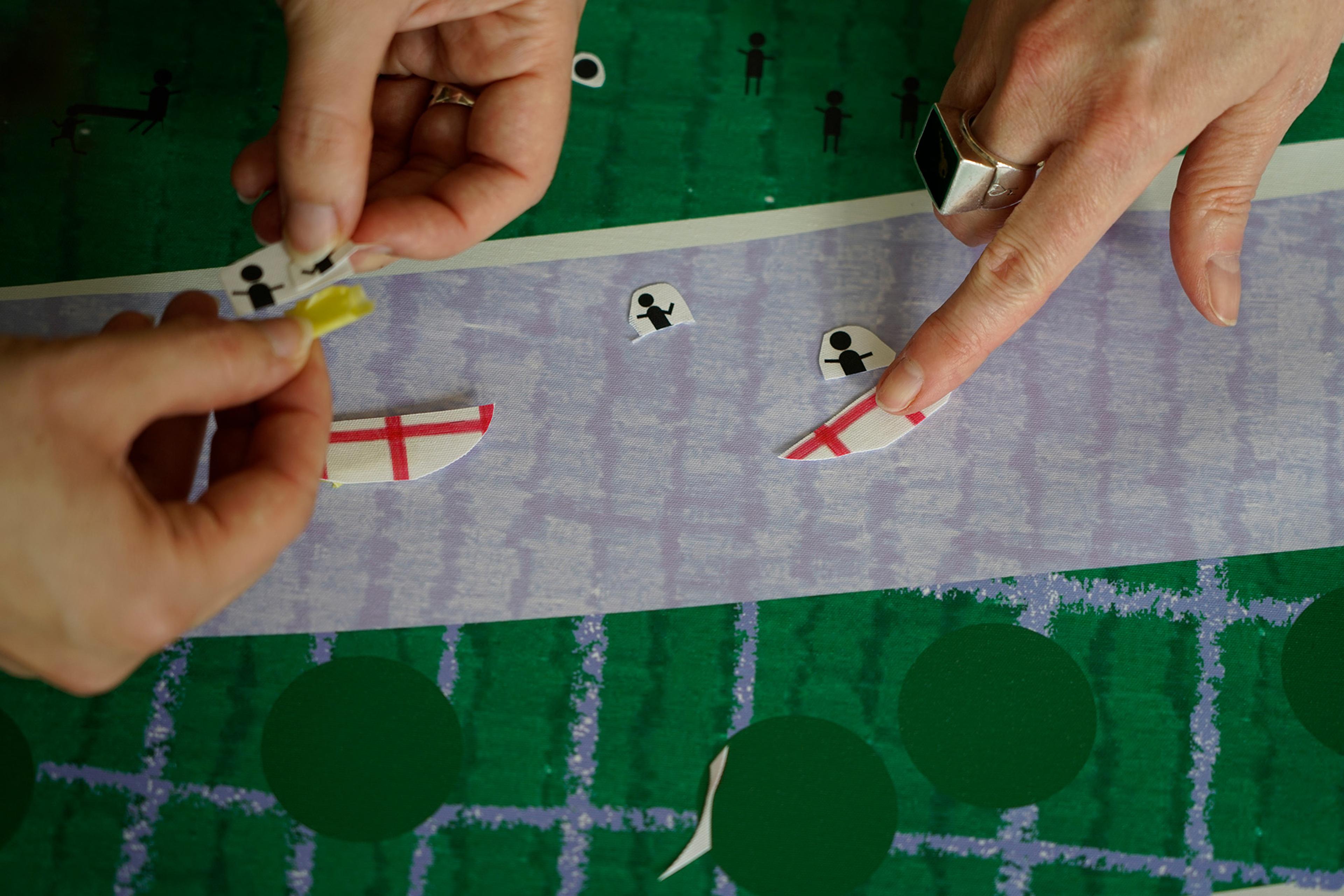
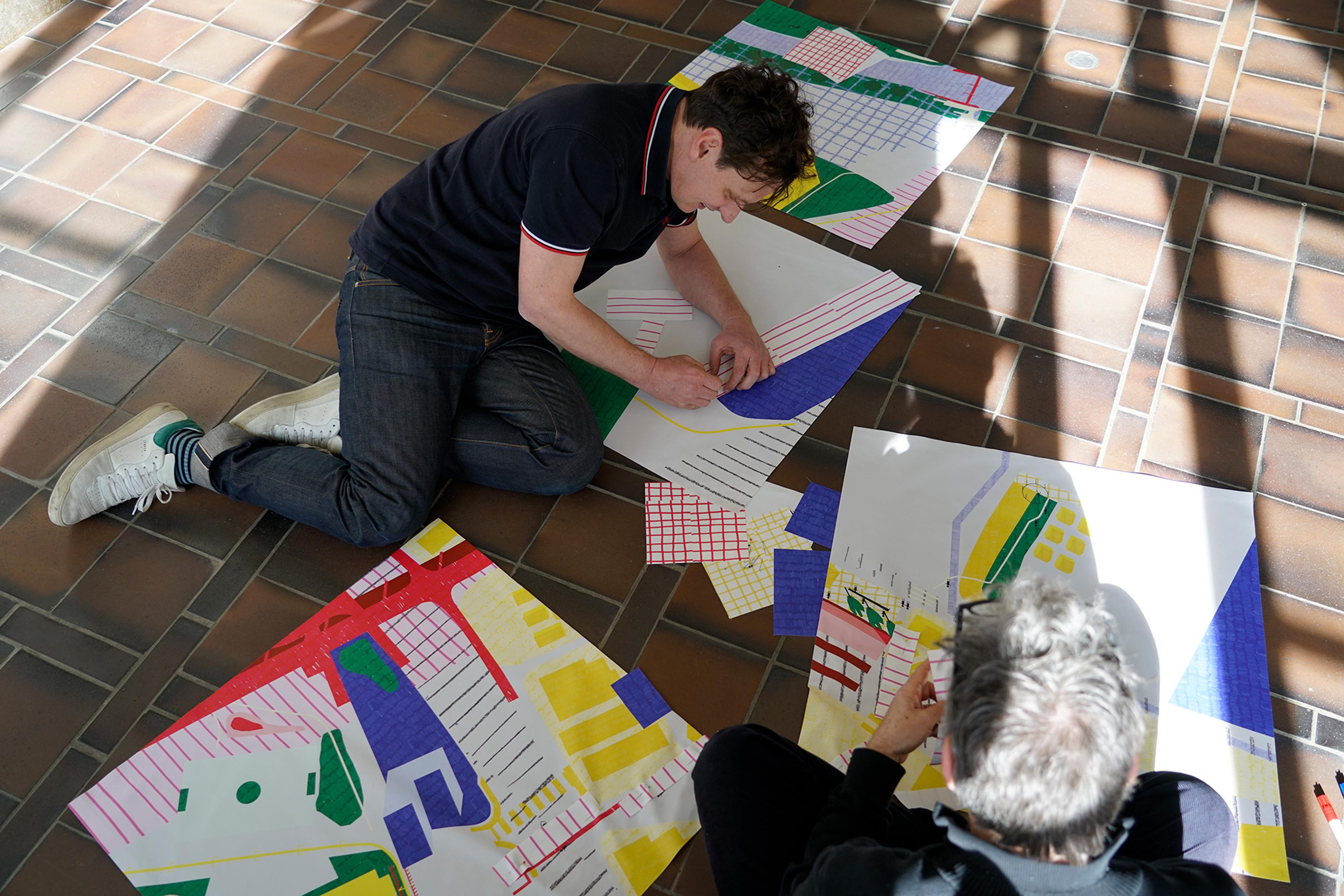
The map as an artifact becomes a boundary object: an object or a thing which facilitates communication between different groups, social worlds or communities of practice. It becomes the common object and a shared space for these groups and supports cooperation, without aiming for consensus. In order to become this strong object the map becomes spatial: a carpet to step on with a strong spatial presence. Moreover, the map was designed to be dis- and, after working on it, to be re-assembled again. A coherent graphical language and color coding gives it stability and coherence. The simplicity of the graphical language, the provided textures allow different people, also non-architects, to engage and to add and change. This makes it a rather humble object of dialogue and co-creation. Not an instrument of persuasion, but a tool to invite to add, change, execute, test, cherish or play around with. The object quality of the map and the activity of actively adding and changing helps to not only activate the brain, but also the body and with it all the senses. The medium forces everyone, while working on the map, to become playful, to negotiate and actively engage with others.
The entry points of the Map of Potentials are four distinctive layers:
Layer 1: Infrastructures
Infrastructures are both the spaces in-between, which are left out in the Richtplan, and at the same time key landmarks and civic infrastructures of the district.
Layer 2: Urban Pattern
These infrastructures are always part of a larger Urban Pattern. They are in relation (to one another) and embedded into existing structures.
Layer 3: Rooted Infrastructures
The Map of Potentials brings to the fore the often unseen infrastructures, which are both ecological infrastructures and social patterns of behaviour and use.
Layer 4: Zones of Potential
As a fourth layer zones are identified as a focus perimeter to which new densification projects should react to and which existing qualities should be taken into account, in order to foster a densification which builds on, supports and diversifies the existing.
The Map of Potentials acts as a working tool: it creates a context to discuss planned densification projects. It facilitates existing qualities across scales and should ultimately support a more qualitative densification, which integrates multiple values and always starts from what is there.
Credits
[Title] Densifying Diversity: A Map of Potentials
[Team] Seppe De Blust, Lukas Fink, Chloé Nachtergael
[Exhibition] Verdichtung oder Verdrängung?
[Place] ZAZ Zentrum für Architektur Zürich
[Date] 2023
